Japanese WWI Map

Japanese WWI Map
$75.00
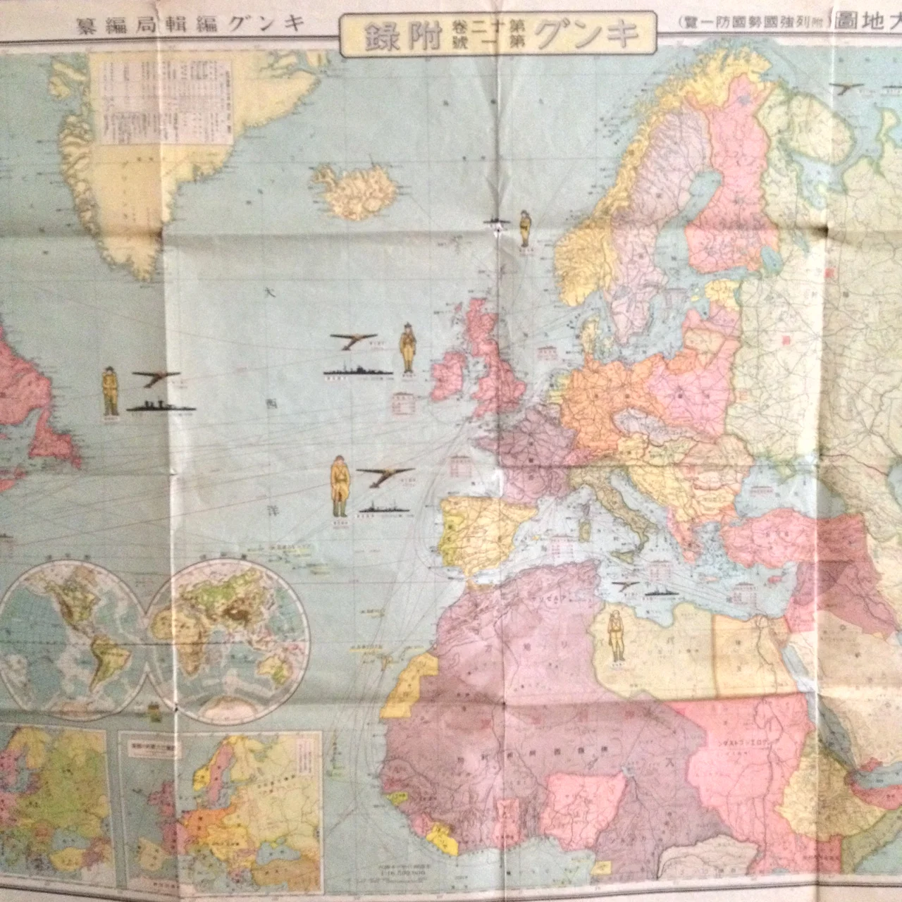
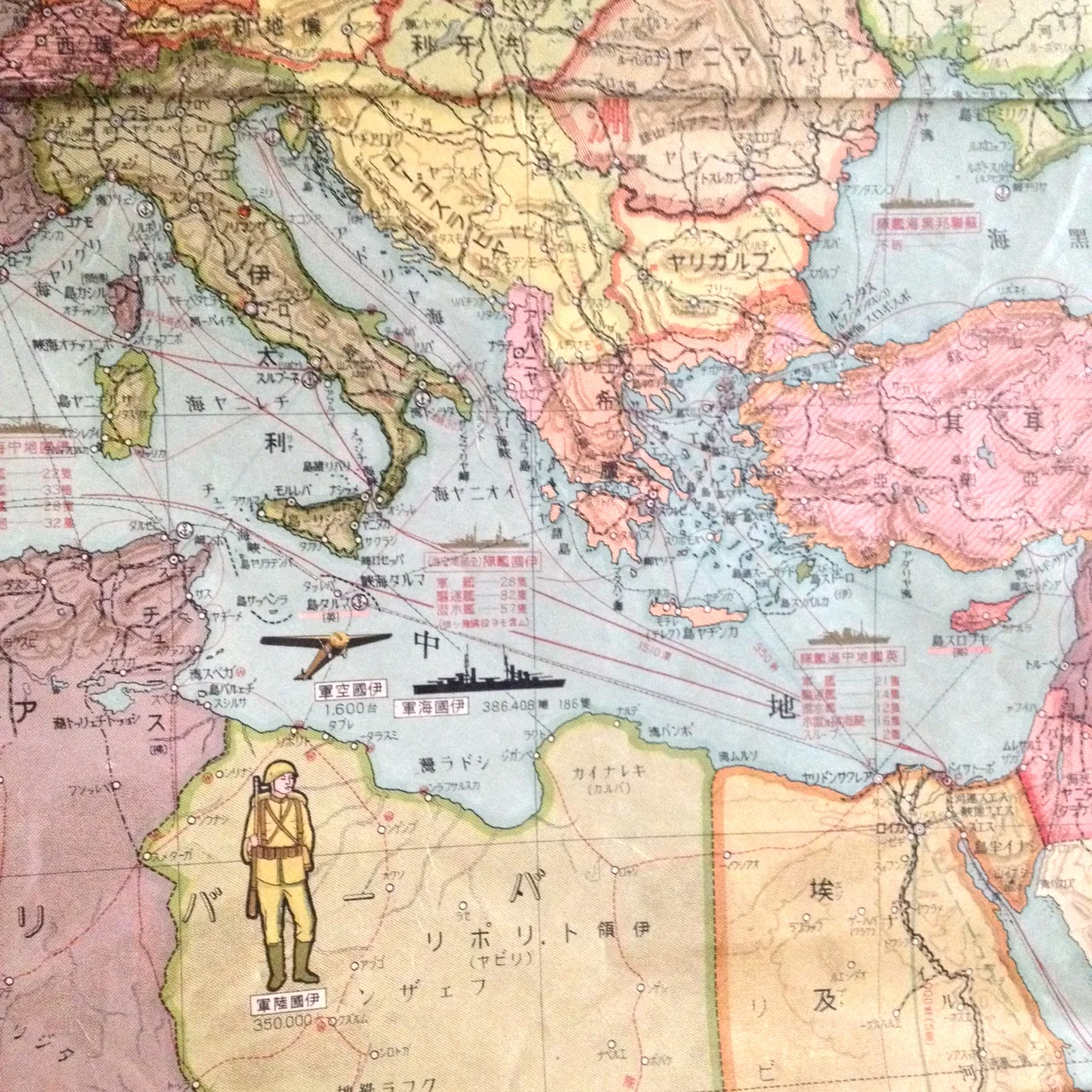
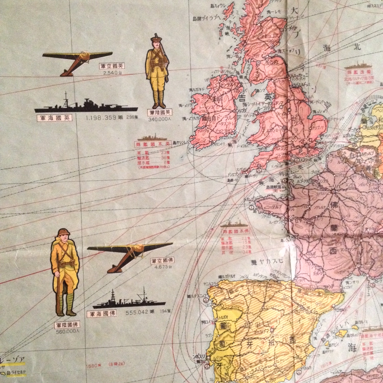
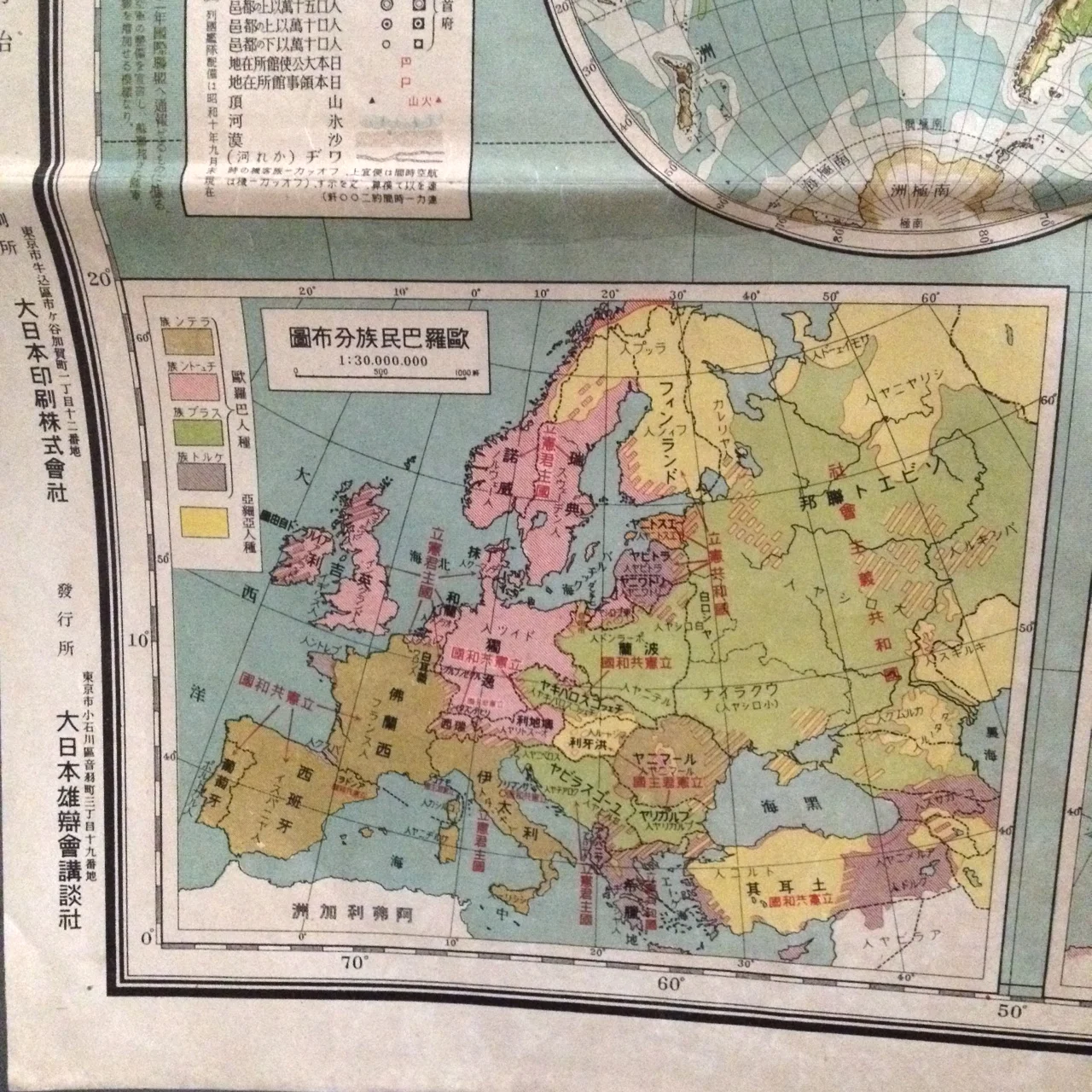
This amazing Japanese map showing Europe and North Africa during WWI, was printed in 1939. The map is jam-packed with information, charts, graphs, inset maps, etc. Beautifully illustrated and, thankfully, the colors are still bold and bright.
Will look amazing framed and mounted on your office wall.
The map has been stored folded and does have some wear along the folds. Overall, its in great shape for its age.
Measures 44" x 30"
sold out